Day 1
First hike organised by Anthill Adventures
The Dhauladhars and their lofty peaks had kindled our interest since long. The spectacular heights of the range and the stunning backdrop it provides to Dharamshala and Mcleodganj made us want to discover the beauty that hid in its high valleys and passes. A visit to the region had also been on the cards to introduce organised trekking at Kareri and its surroundings under AntHill Adventures. The Kareri lake trek, located in the Dhauladhar range in Himachal Pradesh, was therefore imminent.
We were joined on this hike by some of our friends from New Delhi who are adventure enthusiasts and also a family with a six-year old boy. We took advantage of a long weekend in October, anticipating clear skies and fresh green forests, following a recently receded monsoon.
Kareri Dal (dal means lake in Hindi and Pahari), a relatively better-known high-altitude lake in this range. At a comfortable altitude of approximately 3000 meters above sea-level and a relatively short hike to reach it, the lake has gained popularity over the years.
The Dhauladhar region is, however, home to many other lakes, some challenging to reach, via mountain passes that may be traversed only by those familiar with them. The highest and largest of these lakes is the Lam Dal, a chain of seven inter-connected lakes, formed by melting of glaciers over the years and winter snow from mountains. Located high in the Dhauladhar range, which forms a natural border between Chamba and Kangra valleys, these lakes are held sacred by the local people residing on either side on these mountains. These lakes can only be reached by crossing over one of the several shepherd passes. Relatively shorter approaches to Lam Dal can be made via Minkiani or Gaj mountain passes.
To Revati
The walk began on the road to Kareri village ahead of Ghera, located north of Dharamshala. and connected to it by road. Soon we reached Kareri village, which is located at about 1800 meters. The Kareri lake trek trail began here and initially went through pine forests but soon intersected the Nolli-Kareri road. A short walk on this road brings you to a bridge over the Niyund stream. Here the forest trail follows the Niyund upstream on its left-bank to begin with. It soon crosses over to the right bank after negotiating a few boulders. From here, the climb is steeper, the trail turning northward from an earlier more easterly direction.
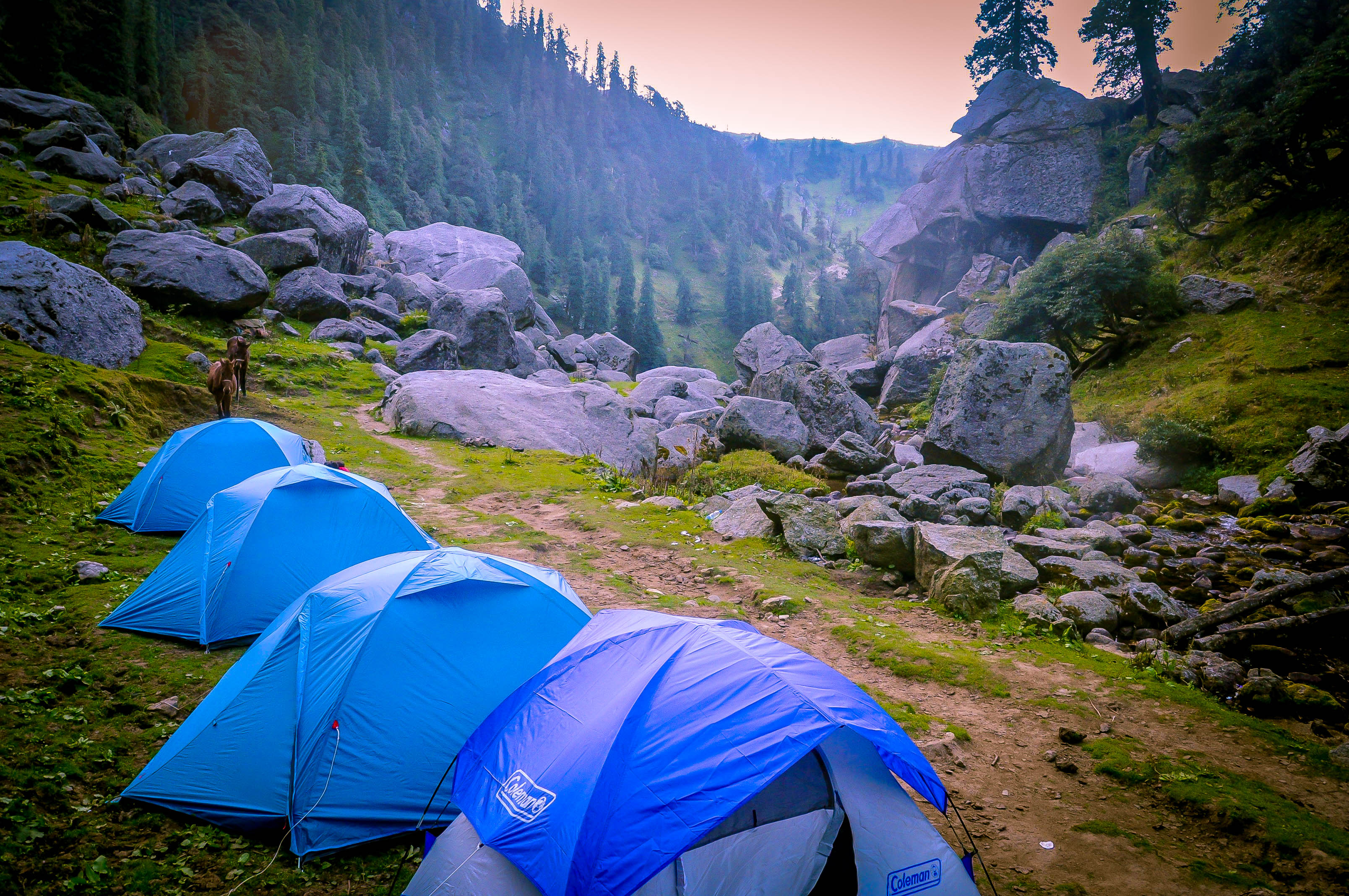
The view opened up here and less than 30 minutes after we arrived at a bridge crossing the stream once again toward the left bank. From here we reached the meadows of Revati, which offered great camping ground, and a running stream as a source of water.
We set up camp here for the night after foraging for dry wood to make a campfire which was available quite easily. After a freshly cooked dinner and a few hours of stargazing we dozed off comfortably inside our tents.
Continue Reading:Kareri Trek Report: Day 2, Revati to Kareri Lake


