Day 1
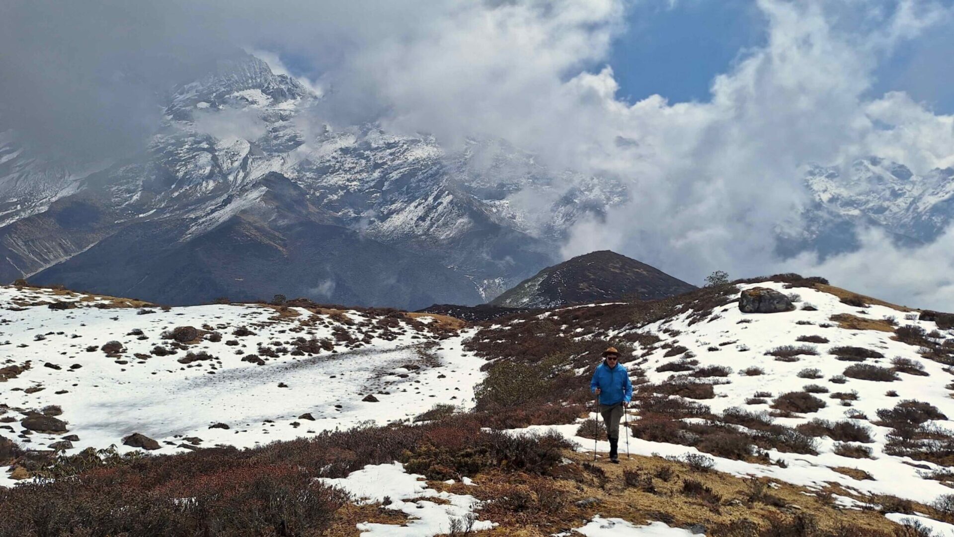
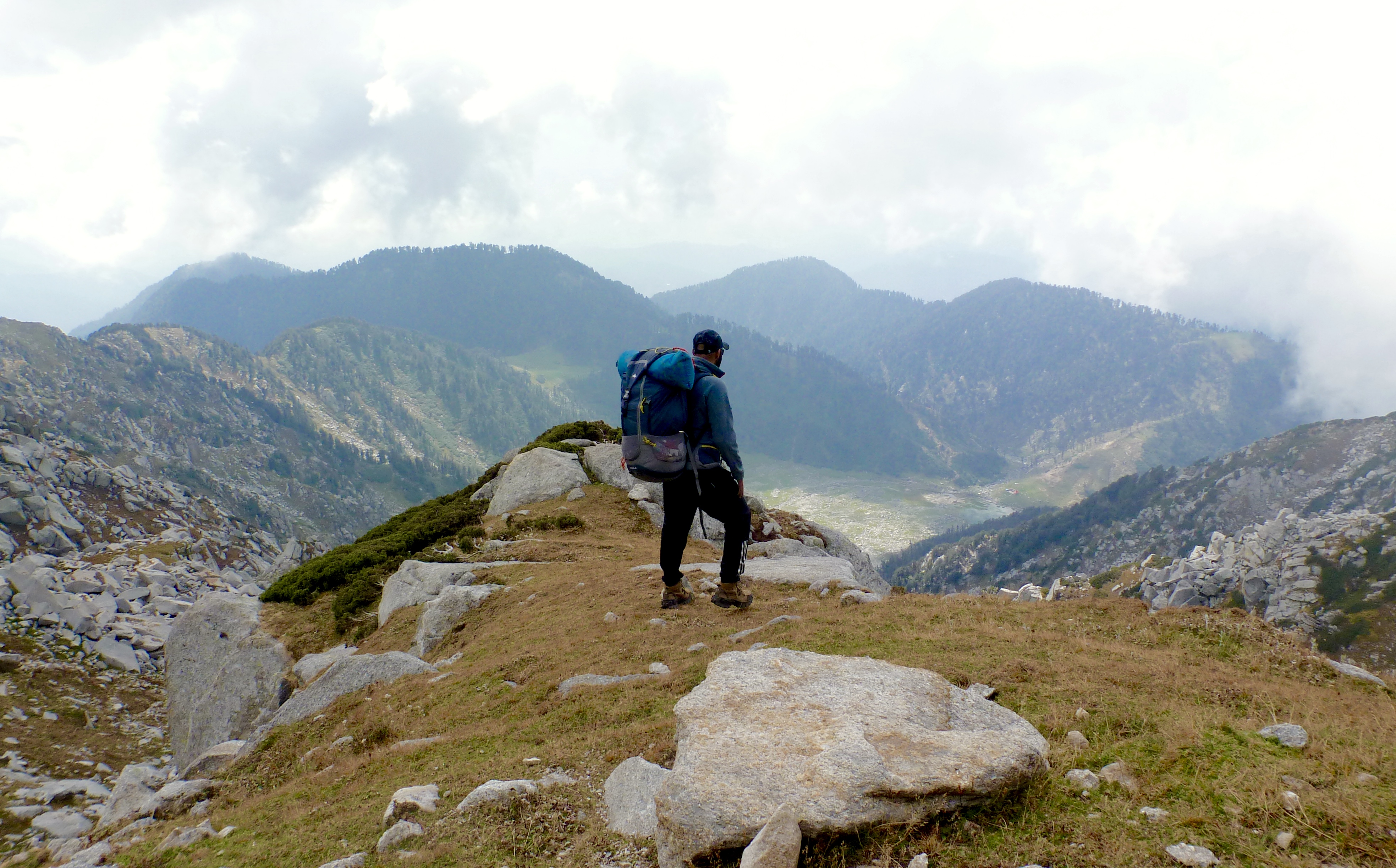
The next morning we said goodbye to our friends who needed to return to their jobs in the plains as we prepared ourselves to climb over the Minkiani pass. Although the initial stretch was full of rocks, grassy patches in between made it easier to walk through. After about a 30 minute walk we had to start climbing a steep gully below the pass. This section took us an hour and a half and involved a small part which needed some bouldering to ascend! At one point the route takes a more easterly direction which is difficult to locate by oneself. From here the route follows a more eastward and another couple of hours’ climb brought us within viewing distance of the pass. With Buddhist prayer flags fluttering and a small temple, the pass stood ahead of us.
The view from the top is impressive to say the least! Towards the west lies the Kangra valley and it being a clear day we could even see as far as the punjab plains. The Maharana Pratap Sagar (Pong lake) on the border between Punjab and Himachal Pradesh was visible as well. Towards the north we had a slightly cloudy view of the snow clad Pir Panjal range, with the Chamba valley below it. As we looked down, we could see the boulder-strewn path all the way down to a small lake. This we suspected was the first of the seven lakes that we would encounter on the Lam Dal Trek.
The descent to lake must have taken us about another couple of hours. The lake, visible from Minkiani pass, was pristine and clear. A gentle stream emerged from the bottom of the lake and was flowing down towards the Chamba valley, undoubtedly a tributary to the Ravi river that emerges from Bara Bhangal in Kangra and flows through to the Punjab region of India and Pakistan before draining into the Arabian Sea. At the other end we could see that the lake was being fed by a small waterfall over some rocks. We camped on a meadow by the lakeside in awe of the glistening white rock reflecting the moonlight of a clear star-studded October sky.


